
價格:免費
更新日期:2018-11-07
檔案大小:5.3 MB
目前版本:1.0.6
版本需求:需要 iOS 8.0 或以上版本。與 iPhone、iPad 及 iPod touch 相容。
支援語言:法文, 英語, 葡萄牙文
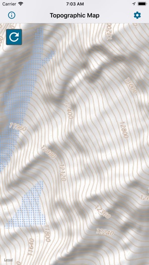
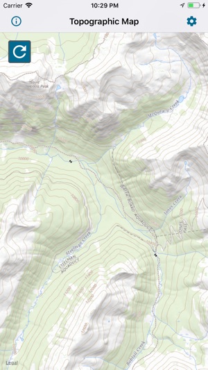
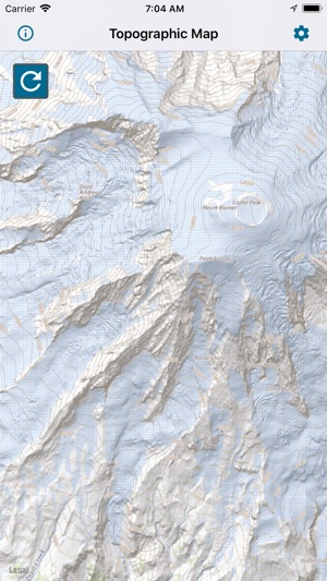
** The #1 Topographic Maps App for iOS **
MAIN FEATURES INCLUDE:
- USGS Topographic Maps
- USFS Topographic Maps
- Satellite + Topo Maps
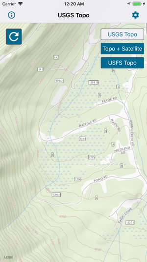
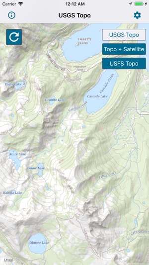
USGS TOPO MAP
USGS Topo is a tile cache base map service that combines the most current data in The National Map (TNM), and other public-domain data, into a multi-scale topographic reference map.
TOPO + SATELLITE
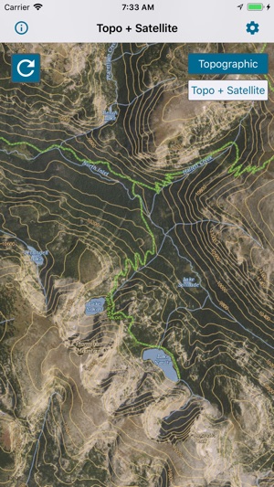
USGS Imagery Topo is a tile cache base map of orthoimagery in The National Map and US Topo vector data. Orthoimagery data are typically high resolution images that combine the visual attributes of an aerial photograph with the spatial accuracy and reliability of a planimetric map.
Data themes included are Boundaries, Geographic Names, Transportation, Contours, Hydrography, Land Cover, Shaded Relief, Trails, etc.
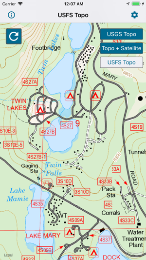
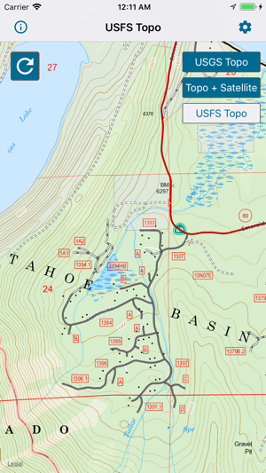
USFS TOPO MAP
The USFS Topo Map Area of Interest covers the USFS National Forests and Grasslands.
Have questions?
Feel free to contact me at mwnbdc@gmail.com.
支援平台:iPhone, iPad